Transform your site or structure into a millimetre-precise digital representation with Lucion’s cutting-edge FARO 3D laser scanning services.
In today’s fast-paced world of architecture, engineering, and construction, having access to accurate, detailed spatial data is essential for making informed decisions and achieving successful project outcomes. Lucion’s FARO 3D laser scanning services provide a powerful tool for capturing your site or structure with unparalleled precision and efficiency.
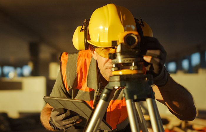
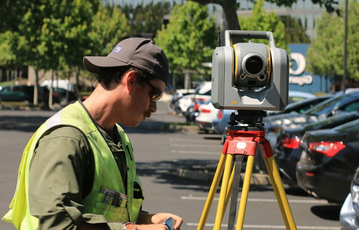
Our team of experienced surveyors and geospatial experts employs state-of-the-art FARO laser scanners to record millions of data points, creating a comprehensive digital representation of your environment. This non-contact, non-destructive technology efficiently captures complex geometries, interior and exterior spaces, and hard-to-reach areas, providing a wealth of information that traditional survey methods simply can’t match.
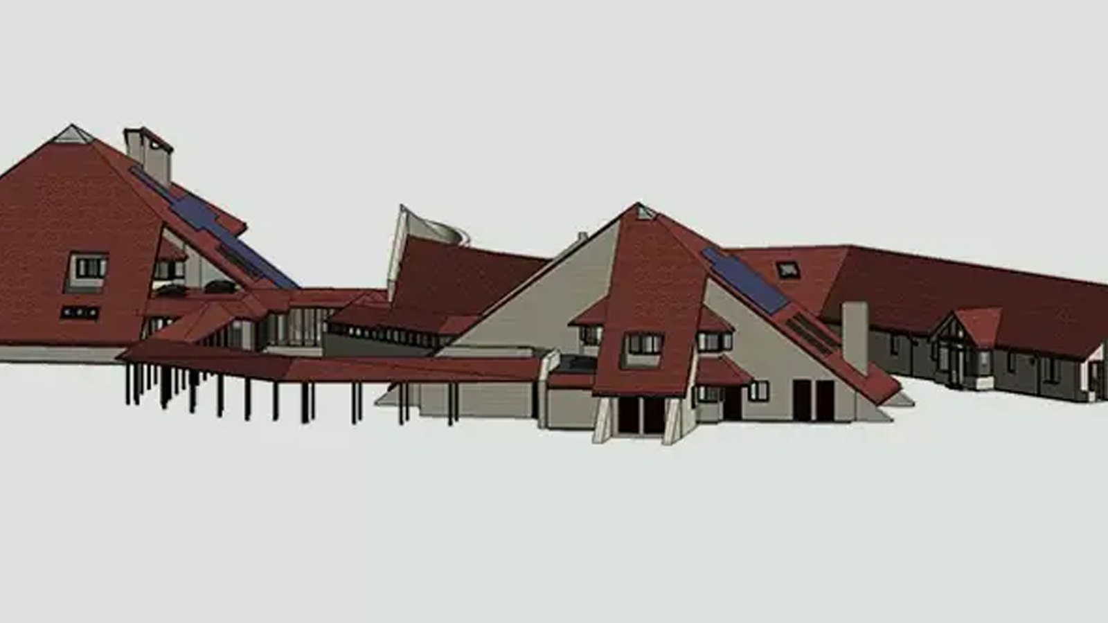
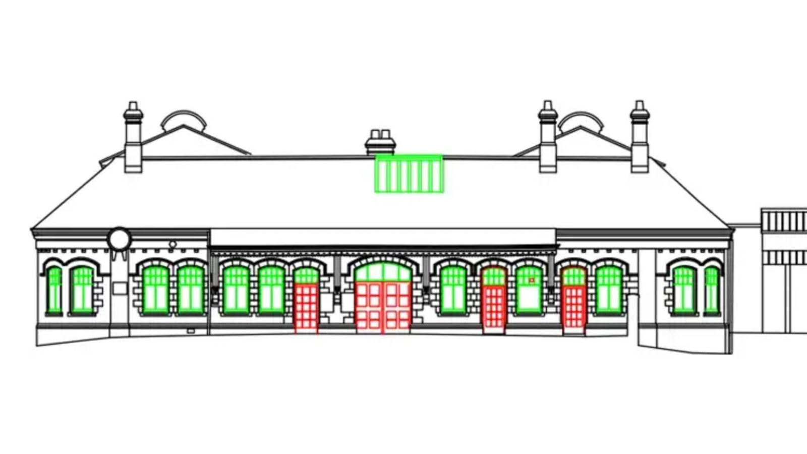
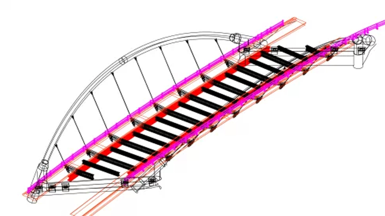
The resulting point cloud data forms a millimetre-precise, three-dimensional model of your site or structure, which can be easily integrated into a wide range of applications. From 3D modelling and BIM integration to as-built documentation and facilities management, our laser scanning services provide the foundation for informed decision-making and streamlined workflows.
One of the key advantages of our FARO 3D laser scanning services is the ability to capture complete, detailed data in a single site visit. This eliminates the need for costly return trips and ensures that all necessary information is available for future investigations and analysis. Additionally, the non-invasive nature of laser scanning makes it an ideal solution for surveying hazardous or inaccessible areas, minimising risk and maximising efficiency.
At Lucion, we pride ourselves on delivering high-quality, customised solutions that meet the unique needs of each client and project. Our FARO Webshare facility allows you to easily access and explore your point cloud data via our secure online domain, enabling you to take measurements, extract coordinates, and gain valuable insights from anywhere in the world.
Further to our 3D Laser Scanning services, we also offer a holistic suite of 3D surveying services including underground services and utilities modelling.

