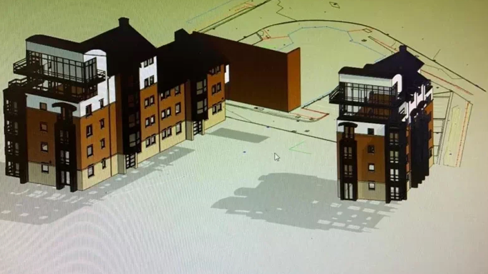
Transform your building projects with Lucion’s comprehensive BIM model services, designed to provide a reliable foundation for collaborative, data-driven workflows.
Building Information Modeling (BIM) has emerged as a game-changing approach to project delivery. By integrating accurate, detailed spatial and asset data into intelligent 3D models, BIM enables more efficient design, construction, and facility management processes. Lucion’s BIM survey services are designed to provide the high-quality data foundation needed to support these workflows and drive project success.
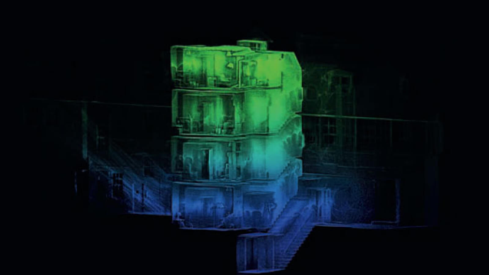
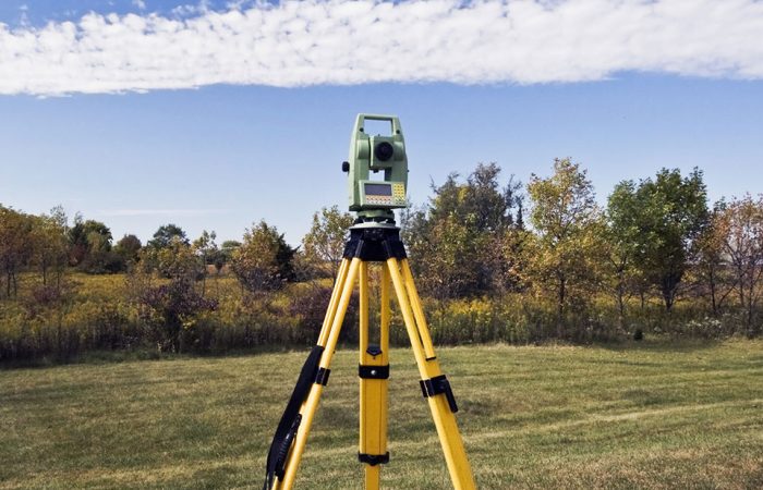
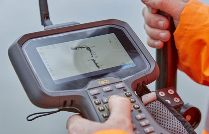
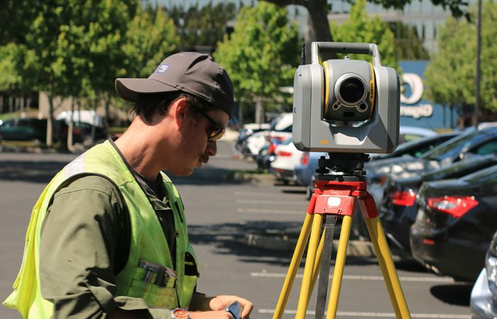
Our team of skilled surveyors and BIM experts employs a range of advanced technologies, including laser scanning, photogrammetry, and GPS, to capture comprehensive data on your building’s geometry, features, and systems. This data is then processed and integrated into BIM software like Autodesk Revit, creating information-rich 3D models that serve as digital twins of your built assets.
By leveraging our BIM survey services, you can unlock a wide range of benefits throughout the building lifecycle. During the design phase, our models provide a reliable basis for exploration, analysis, and collaboration, helping you make informed decisions and optimise building performance. As the project moves into construction, the integration of survey data with BIM supports more accurate planning, coordination, and fabrication, reducing errors and rework on site.
Beyond the initial project delivery, our BIM survey services continue to add value throughout the operational phase of your building. By capturing detailed as-built data and integrating it with asset information, we create models that serve as powerful tools for facility management, space planning, and retrofit projects. This data-driven approach enables more efficient maintenance, reduces operational costs, and supports better decision-making over the long term.
At Lucion, we understand that every project is unique, which is why we work closely with you to tailor our BIM survey services to your specific needs and requirements. Whether you’re looking to streamline design workflows, improve construction coordination, or optimise facility management processes, our team has the expertise and technology to deliver the high-quality BIM data you need to succeed.

