Skip to content

Boundary Surveys

Ready to discuss your project?

Collapsible Contact Us
Full name

The Survey Association Membership

Lucion Surveying is a full member of The Survey Association

Learn more


RoSPA Member

Lucion Services Limited
Is a Member of RoSPA until
01/12/2024

Constructionline Gold

Constructionline Gold includes Acclaim’s SSIP accreditation, streamlining compliance and health and safety information.

View our certificate

Lucion Services Ltd

Boundary Surveys FAQs

When you engage Lucion for a boundary survey, our experienced land surveyors will consult with you to understand your specific needs, objectives, and any potential concerns. They will conduct thorough research of property records, maps, and other relevant documents, visit your site to perform detailed measurements and data collection using advanced equipment, process and analyse the collected data to determine boundary locations and any discrepancies, prepare clear, comprehensive reports, maps, and other deliverables to document the survey findings, and communicate with you throughout the process to ensure your satisfaction and understanding of the results. 

A boundary survey provides crucial information for planning and executing development or renovation projects. It offers accurate measurements of property dimensions, setbacks, and buildable areas, identifies any encroachments, easements, or zoning restrictions that may impact the project, establishes a clear, reliable basis for design, permitting, and construction activities, and helps avoid potential conflicts or errors that could result in costly delays or legal issues. 

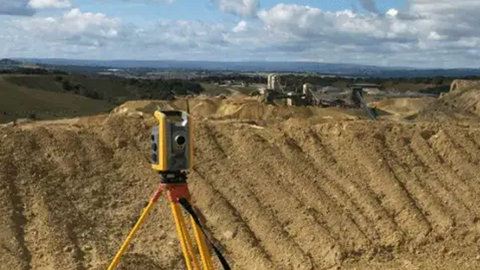
At Lucion, our boundary surveys employ a range of advanced technologies to ensure the highest level of accuracy and detail. These include high-precision GPS (Global Positioning System) to establish control points and coordinate systems, robotic total stations for efficient, accurate measurement of angles and distances, 3D laser scanners to capture detailed, comprehensive data on property features and topography, and specialised software for data processing, analysis, and mapping. 

By providing a clear, accurate record of your property’s boundaries, a boundary survey can be invaluable in protecting your rights and avoiding disputes. It can help you ensure that you and your neighbours respect each other’s property boundaries, avoid unintentional encroachments or violations of setback requirements, resolve disagreements or disputes over boundary locations, and establish a legal basis for any necessary enforcement actions or negotiations. 

A boundary survey can be valuable in numerous situations, such as when buying or selling a property, building new structures or renovating existing ones, resolving boundary disputes with neighbours, obtaining building permits or zoning approvals, subdividing a property into multiple parcels, establishing easements for utilities or access, managing agricultural or commercial land, or applying for land registry changes or updates. 

A boundary survey is a comprehensive examination and measurement of a property’s boundaries, carried out by a licensed land surveyor. The survey determines the exact location of property lines, corners, easements, encroachments, and other relevant features, providing a clear, legally defensible record of the property’s extent and any potential issues or conflicts. 

Stay in the know with all industry insights and Lucion announcements.

View all news & insights

Register for IMPACT Bulletin

Lucion Impact Bulletin

Verified. Accredited. Certified. Trusted.