Uncover the secrets of your site’s drainage infrastructure with Lucion’s comprehensive drainage mapping surveys, tailored to your unique needs.
Effective management and maintenance of your site’s drainage system are crucial for preventing pollution, avoiding costly repairs, and ensuring compliance with environmental regulations. However, without accurate information about the location and condition of your drains, pipes, and other infrastructure, achieving these goals can be challenging.
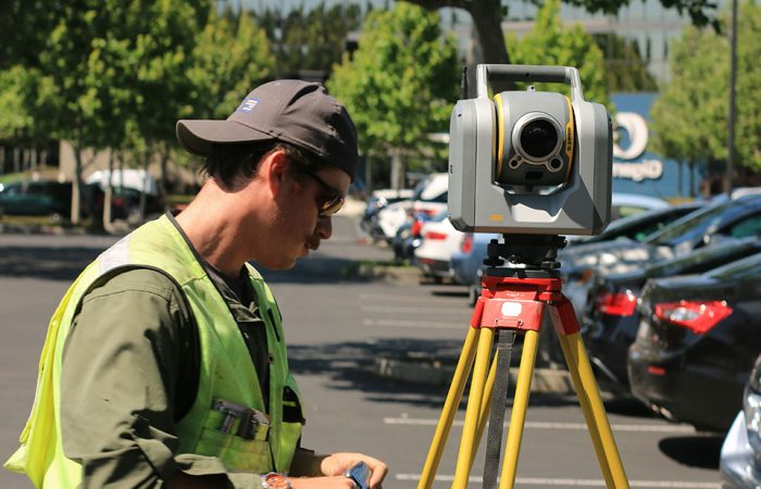
Comprehensive drainage mapping is essential to support your site’s efficient operation and environmental responsibility. Our expert team of underground utility surveyors employs a combination of advanced technologies and proven techniques to provide you with the detailed, reliable data you need:
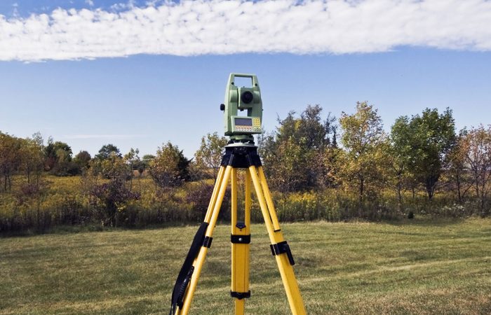
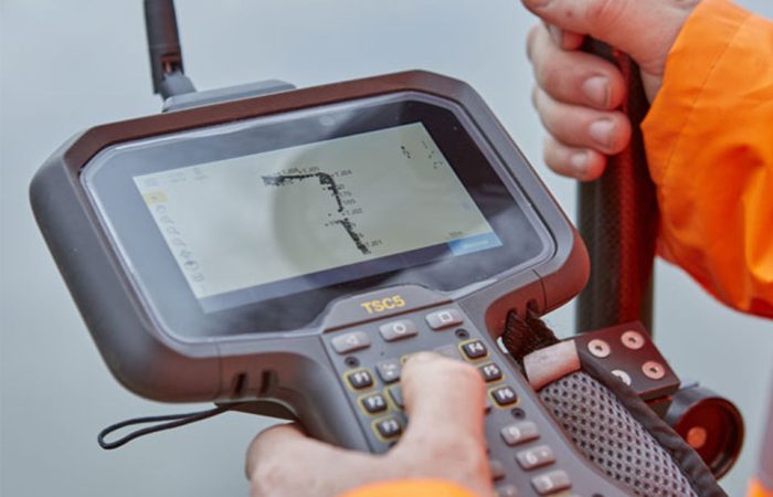
- Radiodetection and ground penetrating radar (GPR): Our surveyors use state-of-the-art equipment to accurately locate and map storm and foul sewer pipes, identifying their positions, depths, and connections.
- Boundary identification and responsibility determination: We help you clearly define the boundaries of your site’s drainage system and identify who is responsible for maintaining each component, ensuring that you can effectively plan and budget for ongoing upkeep.
- Integration with other survey services: Our drainage mapping surveys can be conducted as standalone projects or in combination with our other survey services, such as underground utility surveys, providing you with a comprehensive understanding of your site’s subsurface infrastructure.
- Groundwater testing: In addition to drainage mapping, we offer groundwater testing services to help you assess the impact of your site’s activities on the surrounding environment and ensure compliance with relevant regulations.
We are committed to delivering the highest quality survey data to support your site’s safety, efficiency, and environmental stewardship. Our combination of expertise, technology, and customer-centric approach ensures that you have the information you need to make informed decisions and achieve your goals.

