Uncover hidden underground utilities with Lucion’s expert GPR surveys. Our advanced technology detects non-metallic pipes, fibre optics, and drainage, creating comprehensive utility maps.
Accurate knowledge of underground utilities is crucial for the success and safety of any construction or excavation project. However, traditional methods often fail to detect non-metallic services, leading to costly delays, damage, and potential hazards.
We tackle these challenges through the development of our Ground Penetrating Radar (GPR) survey services. We provide you with comprehensive, reliable data you need to proceed with confidence.
Our services offer the following solutions:
- Detection of non-metallic utilities: Identify plastic water and gas pipes, fiber optics, and drainage that other methods may miss, ensuring a complete understanding of underground services to avoid damaging critical infrastructure.
- Rapid, precise data collection: Benefit from our efficient survey process, minimising disruption to your project timeline, and obtain accurate data on pipe trajectories, ground disturbances, and changes in subsurface conditions.
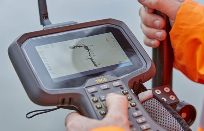
- Expert interpretation and comprehensive utility mapping: Rely on our experienced surveyors to analyze GPR data and provide clear, actionable insights, receiving detailed underground utility maps that integrate seamlessly with your project planning.
- GPR as a standard tool at no extra cost: Leverage the advantages of GPR technology without additional expenses, benefiting from our commitment to using the best available tools to deliver superior results.
As a member in the European GPR Association, you can trust in our adherence to industry best practices and cutting-edge techniques, and have confidence in our dedication to continuous improvement and professional excellence.
At Lucion, we are committed to delivering the highest quality GPR surveys to help you overcome underground utility challenges and achieve project success. Our combination of advanced technology, expert knowledge, and customer-centric approach ensures that you receive the accurate, timely data you need to make informed decisions and mitigate risks.

