Safeguard your land development projects with Lucion’s expert radiological land surveys, providing accurate data to identify and address potential radiological risks.
When developing or redeveloping land, it is crucial to understand the radiological characteristics of the site to ensure the safety of workers, the public, and the environment. Failure to identify and address radiological contamination can lead to health risks, regulatory non-compliance, and costly remediation efforts.
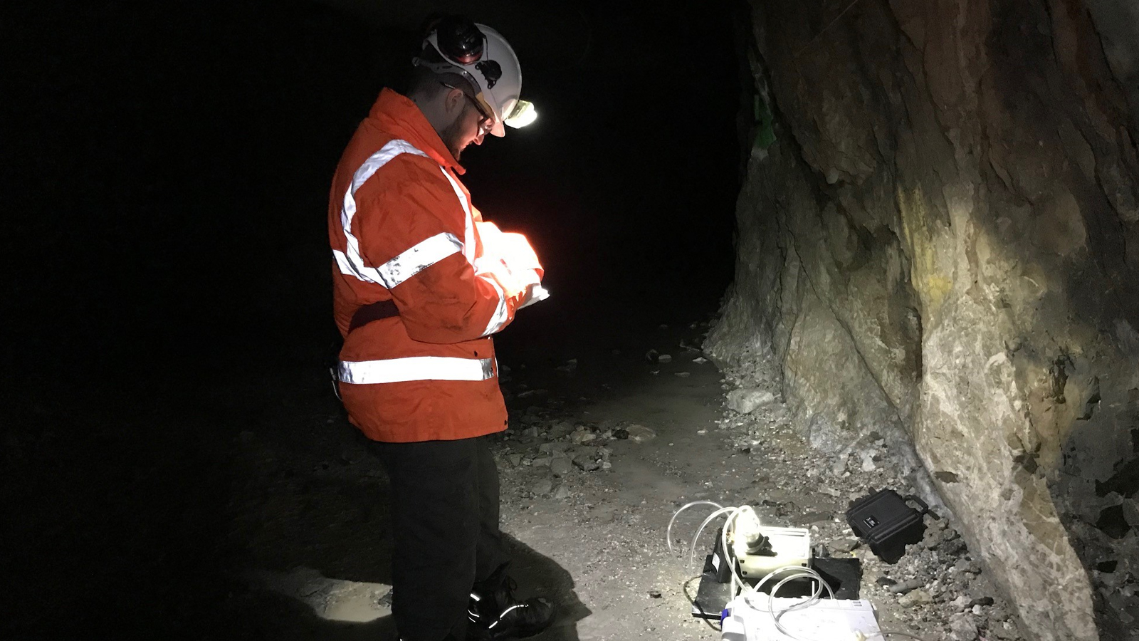
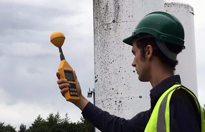
Lucion’s comprehensive radiological land surveys, also known as radiological walkover surveys, provide you with the data and insights needed to make informed decisions about your land development projects. Our experienced team uses advanced survey equipment to measure gamma radiation across your site, achieving a high-resolution survey of 1m x 1m.
Our surveys are designed to:
- Identify the presence of discrete radiological artefacts, such as those associated with historical radium manufacturing or use
- Characterise diffuse distributions of radioactivity, often related to sites with a history of NORM-contaminating industrial processes
- Provide qualitative and quantitative descriptions of the site’s radiological character
- Generate detailed contour plots (heat maps) for easy interpretation of the entire data set
- Screen arisings from boreholes or trial pits during site investigation work
We take a collaborative approach to planning radiological land surveys, working closely with you and local authorities to understand your site’s history and specific requirements. Our team assesses the site’s topography and access conditions to determine any necessary preparatory works before conducting the survey.
With Lucion’s radiological land surveys, you can have confidence in the accuracy and reliability of the data, enabling you to make informed decisions about your land development projects while ensuring the safety of all involved and maintaining regulatory compliance.


