Skip to content

Utility Mapping Surveys

Ready to discuss your project?

Collapsible Contact Us
Full name

Trusted Surveying Services

The Survey Association Membership

Lucion Surveying is a full member of The Survey Association

Learn more


European GRP Association

Lucion Surveys is a European GPR Association Member.

Ground Probing Radar Licence

It is a legal requirement in the UK for Ground Penetrating Radar users to hold an Ofcom licence, the licence needs to be renewed every three years.

Lucion Surveys are licence holders 0996045/1

Utility Mapping FAQs

PAS128, developed by the British Standards Institution (BSI) and the Institution of Civil Engineers (ICE), is the current standard for underground utility detection. It ensures the reliable and consistent sharing and delivery of all information related to underground utilities. With various detail categories available, PAS128 applies to engineers, construction businesses, project managers, utility owners, and surveying companies, setting out best practices for compliant underground utility surveys.
This highly accurate and detailed survey level is generally used in areas known to be densely populated with services, minimising danger, conflict, delays, and disruption to your project.

Utility mapping survey results can be delivered in a variety of formats to suit your project’s needs. Common deliverables include: 

  • Detailed utility maps or plans showing the location, type, and depth of identified utilities 
  • CAD drawings or GIS data that can be integrated with existing project files 
  • Comprehensive reports outlining the survey methodology, findings, and any potential issues or recommendations 
  • On-site markings or flags to guide excavation or construction work We work with you to determine the most appropriate deliverables for your project and ensure that the data is presented in a clear, usable format that supports your decision-making process. 

Yes, utility mapping surveys can be carried out in environmentally sensitive areas with proper planning and precautions.

Our team is experienced in working around environmental constraints and takes great care to minimise any potential disruption to the site and surrounding ecosystem. We use non-invasive techniques wherever possible and adhere to all relevant regulations and best practices. 

The accuracy of utility mapping surveys depends on several factors, including the technologies used, the skill of the surveyors, and the complexity of the site.

At Lucion, we employ the latest equipment and techniques, along with highly trained professionals, to ensure the highest possible accuracy for your project. We work closely with clients to understand their specific needs and tailor our approach accordingly. 

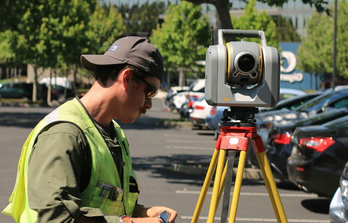
Utility mapping surveys typically employ a combination of advanced technologies, including: 

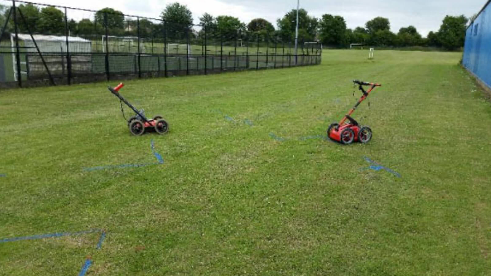
  • Ground Penetrating Radar (GPR): GPR uses electromagnetic waves to create high-resolution images of subsurface features, including both metallic and non-metallic utilities. 
  • Electromagnetic Locators (EML): EML devices like CAT and Genny locators detect electromagnetic fields emitted by conductive utilities, helping to pinpoint their location. 
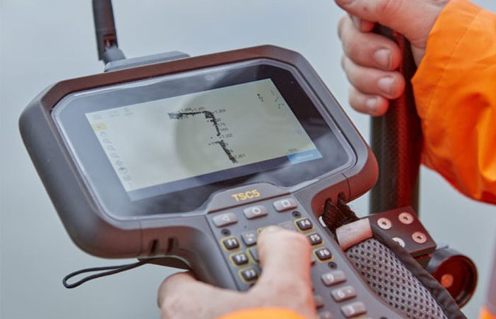
  • Global Positioning System (GPS): GPS technology enables surveyors to accurately record the location of identified utilities and integrate the data with existing maps or plans. 

Utility mapping is crucial for several reasons: 

  • Safety: It helps prevent damage to underground utilities during construction or excavation work, minimizing risks to workers and the public. 
  • Cost savings: By identifying the location of utilities before a project begins, utility mapping can help reduce costs associated with utility relocation and repairs. 
  • Improved planning: Accurate utility data informs project planning and design, ensuring that projects are developed in a way that minimizes impacts on existing infrastructure. 
  • Regulatory compliance: Utility mapping may be required by local, state, or federal regulations to ensure projects are developed safely and responsibly. 

Utility mapping is the process of locating, identifying, and creating an accurate record of underground utilities such as water and sewage pipes, electrical and communications cables, gas lines, and other infrastructure. This information is essential for planning, designing, and executing construction and excavation projects safely and efficiently. 

Register for IMPACT Bulletin

Lucion Impact Bulletin

Verified. Accredited. Certified. Trusted.