Streamline your operations and ensure accurate material quantification with cutting-edge volumetric surveys, tailored to your unique project needs.
In industries such as construction, mining, and quarrying, accurate volumetric measurements are crucial for efficient operations and financial planning. At Lucion, we specialise in providing precise and reliable volumetric surveys, leveraging state-of-the-art technologies to deliver results that empower your decision-making process.
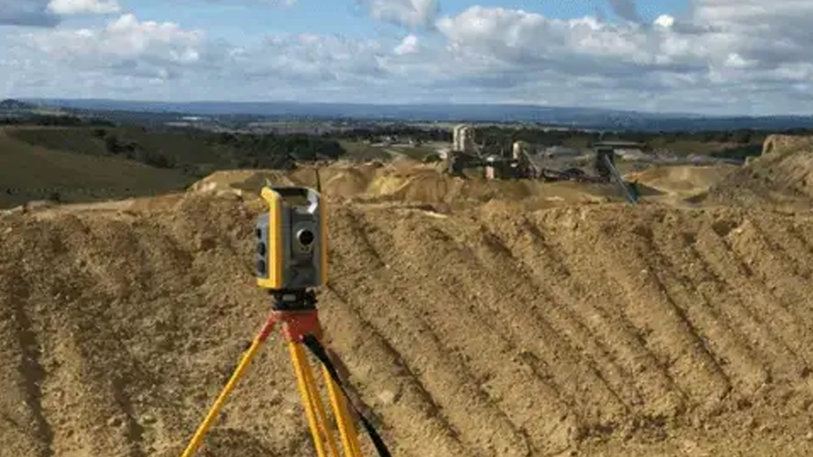
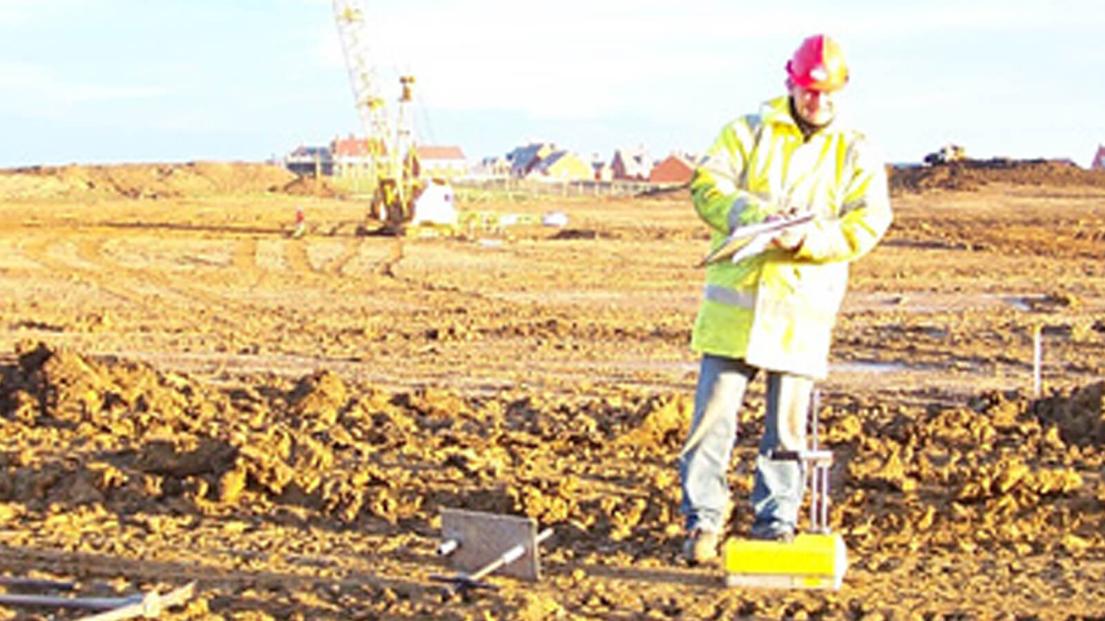
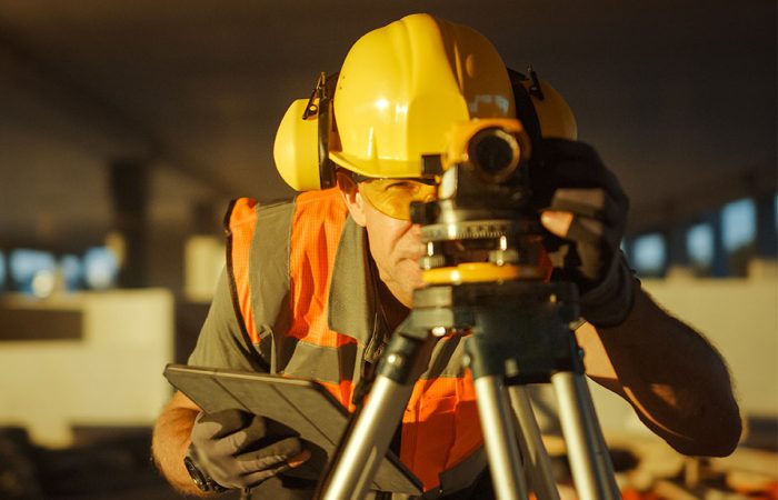
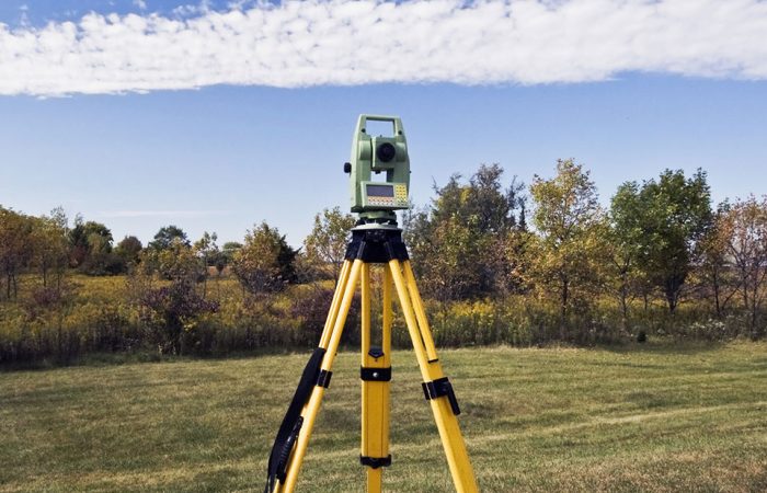
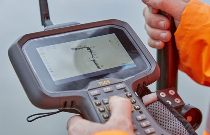
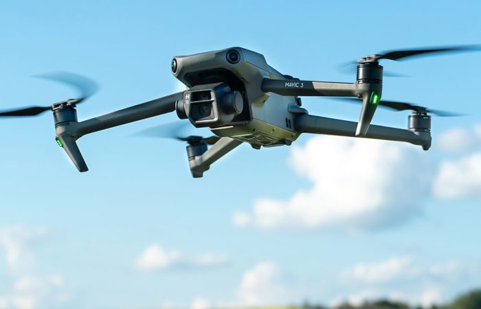
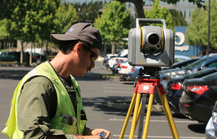
Our experienced team conducts comprehensive volumetric surveys to calculate stockpile volumes, extraction quantities, and earthwork volumes with unparalleled accuracy. By employing a combination of traditional ground surveying techniques and innovative aerial drone technology, we ensure that our surveys are both cost-effective and time-efficient, while maintaining the highest standards of precision.
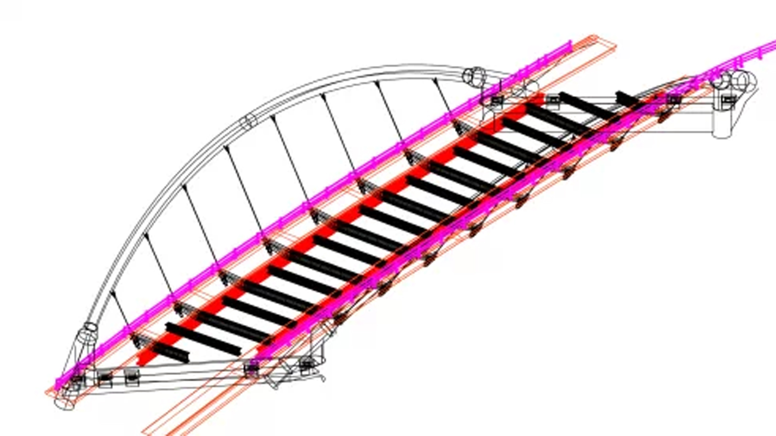
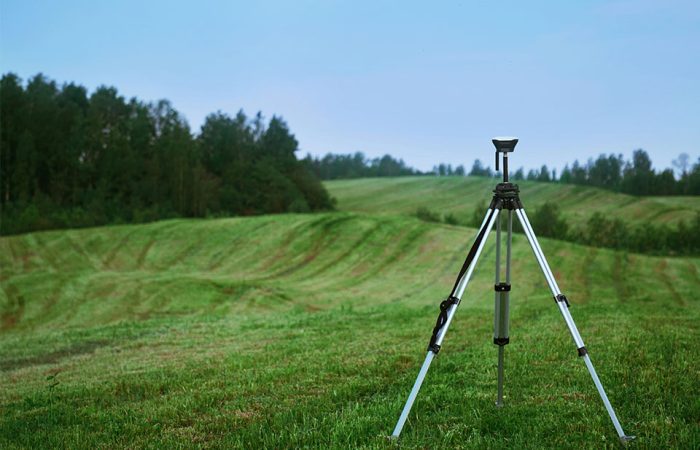
For stockpiles that may be unsafe to walk on, we utilise our Trimble TX8 scanner to collect detailed data without compromising the safety of our surveyors. Our drone surveys offer a fast and effective alternative, allowing us to survey even the most challenging sites with ease. By integrating data from multiple sources, including GPS positioning, laser scanning, and 3D modeling, we provide a comprehensive and detailed analysis of your site’s volumetric characteristics.
Our volumetric surveys serve as an essential tool for progress monitoring, enabling you to track the volume of material removed over time and make informed decisions about resource allocation and project timelines. Additionally we offer independent professional services to both quarry operators and earthworks contractors, facilitating the agreement of contractual quantities and ensuring transparency in billing and payments.
Whether you need a one-time survey or ongoing monitoring, our team is equipped to deliver accurate and actionable data, supported by aerial photography and video documentation when requested.
We facilitate you to make informed decisions, optimise your operations, and achieve your project goals with confidence.

